Day 3

Day 3: Pic Negre

What to expect?

This stage enters technical offroad terrain almost immediately, shifting the route into a more demanding mountain environment. The first sections follow sandy roads and loose surfaces before transitioning into steeper climbing tracks that wind through the high Pyrenean landscape. As the elevation increases, the terrain becomes more rugged, with narrow mountain trails and exposed slopes that require steady, controlled riding.

Throughout the day, the route passes through remote high‑mountain areas where vegetation thins out and the views open toward the surrounding peaks. Technical climbs appear regularly, often combined with rocky surfaces and uneven ground. These segments form some of the most challenging terrain of the entire tour and lead toward the highest elevation point of the route. The sense of isolation grows as the track moves deeper into the mountains, with long stretches of untouched terrain and minimal signs of habitation.

The stage eventually reaches the entrance of Pic Negre, a well‑known high‑altitude area where, during certain summer periods, riders are allowed to continue further into the mountains for a fee when conditions permit. This optional extension adds even more altitude and technicality, depending on weather and seasonal access.

After leaving the high mountain zone, the route descends into Andorra, following a mix of rocky paths and forested slopes. The landscape changes quickly as the altitude drops, but the terrain remains engaging. Once the descent is completed, the track crosses back into Spain and continues through another challenging offroad section, maintaining the technical character of the day until the stage concludes.

This part of the tour stands out for its combination of elevation, difficulty, and remote mountain atmosphere, marking one of the most intense and memorable riding days of the entire route.

GPX Route

Accomodation 3

Camping Cerdanya Viva

The third night is at the same camping as night 2!

Cerdanya Viva | Càmping Bungalows is located in the heart of the Pyrenees, surrounded by mountain scenery near the village of Prullans. The campsite offers a peaceful and comfortable stop after a full day of riding through the high‑altitude roads of Northern Spain.

The grounds include spacious pitches, modern sanitary buildings, swimming pools, wellness areas, and an on‑site restaurant, creating a relaxed environment to recover and prepare for the next stage.

For those seeking additional comfort, the associated hotel is only a short two‑minute drive away and provides access to a heated pool, a fully equipped gym, and a secure parking garage. It doesn’t matter if you stay at the camping or in the hotel, you’re allowed to use all the hotels facilities.

With its elevated location and panoramic views of the Pyrenees, Cerdanya Viva adds a strong sense of mountain atmosphere to the tour and serves as one of the most scenic overnight stops along the route.

What's nearby?

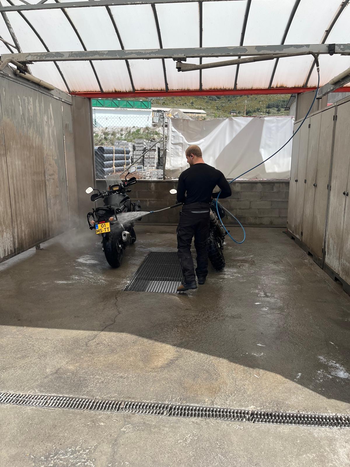
The nearest fuel stop is the Emccat station in Bellver de Cerdanya, located just a short drive from Prullans. It is easy to access, has a couple pumps and wash bozes, and is convenient for refueling before continuing deeper into the Pyrenees.
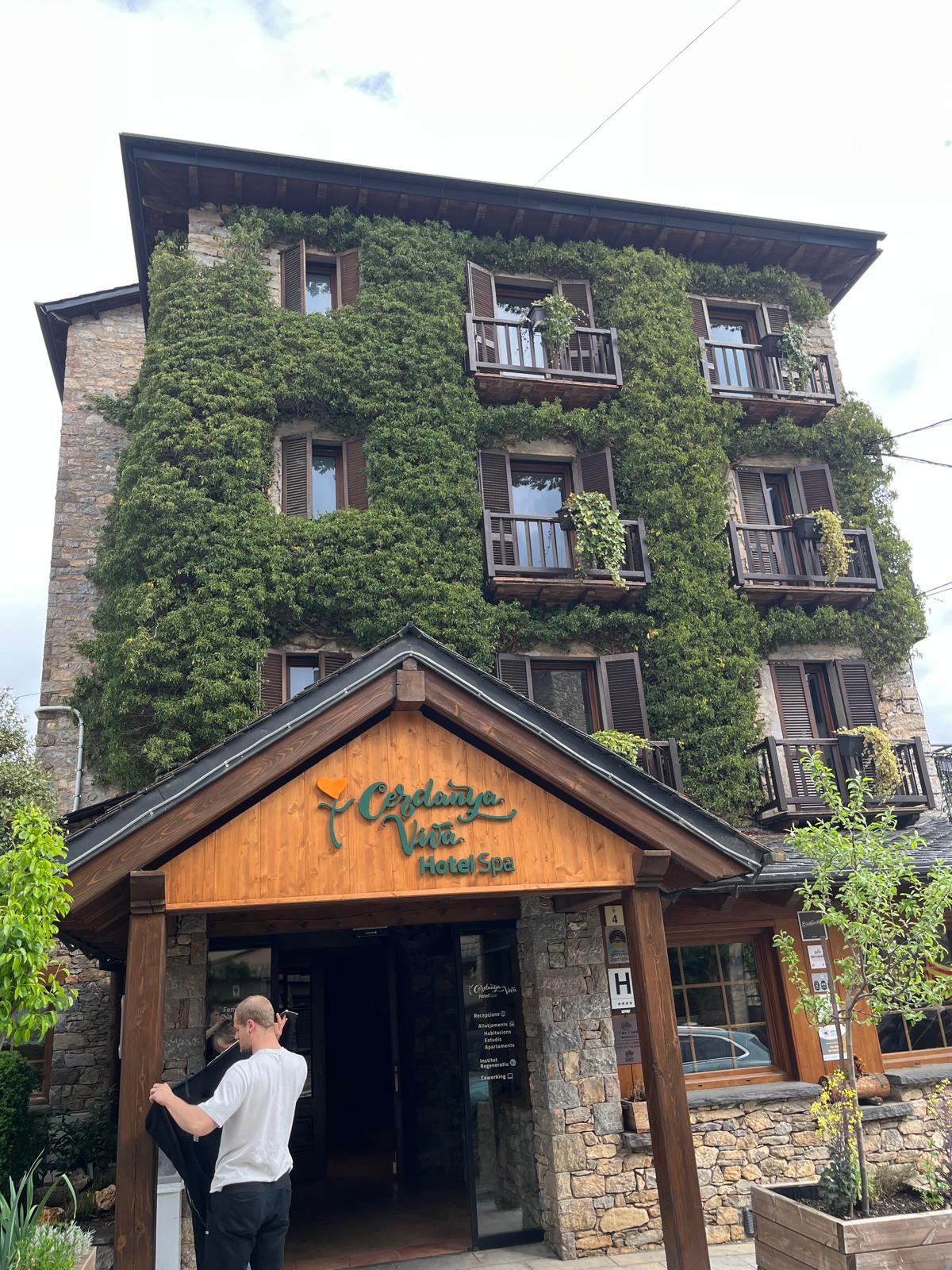
Prullans is the closest village, known for its quiet streets, traditional stone houses, and views across the Cerdanya valley. The village offers small shops, cafés, and local restaurants, making it a practical stop for basic supplies or a short walk through a typical Pyrenean settlement.
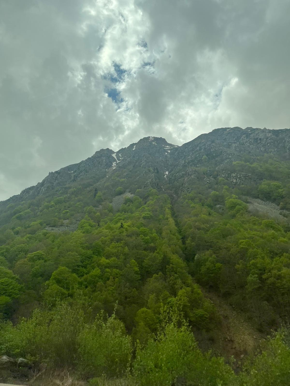
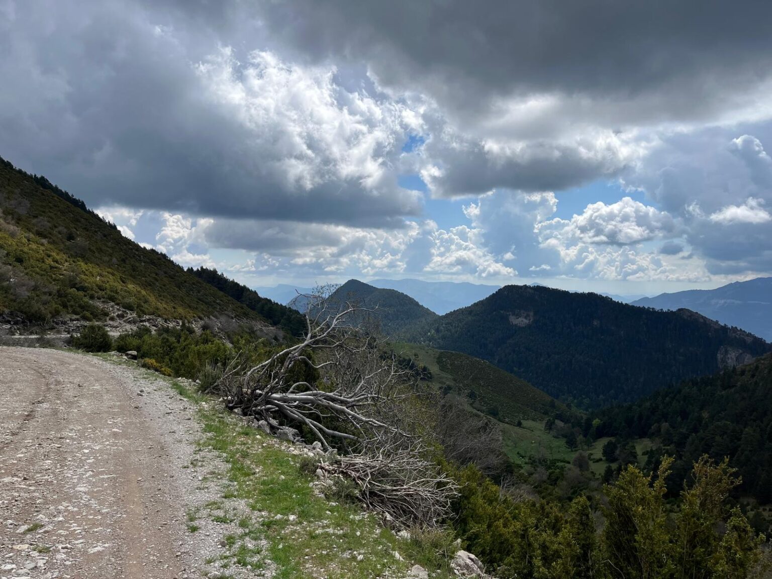
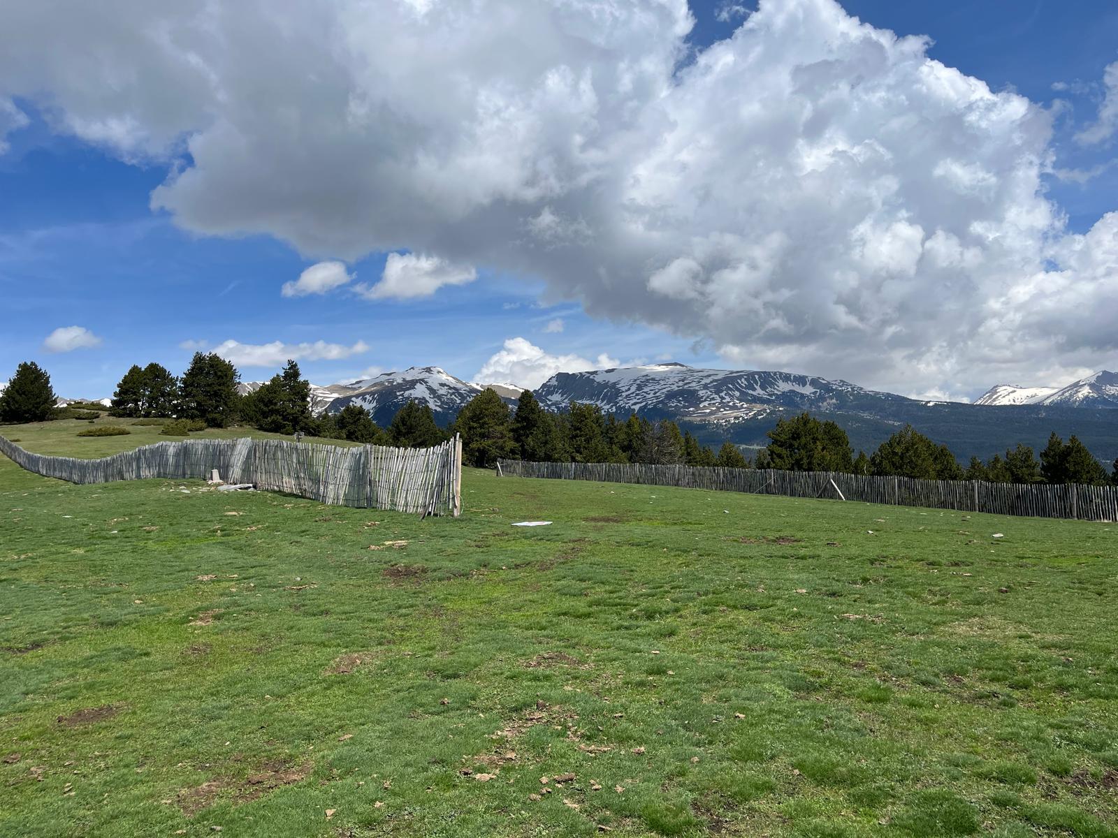
A short drive into the hills leads to the Mirador del Pla de Llet, a scenic viewpoint overlooking the valley and surrounding peaks. It is a peaceful spot with wide open views, ideal for a brief visit before or after a riding stage.

Continue to Day 4

After the longer transition stage into the Pyrenees, Day 3 brings the route into more technical mountain terrain around Pic Negre, with steep climbs, sandy tracks and remote sections.

Before downloading the Day 3 GPX file

You are responsible for checking local regulations, route access, weather conditions, your riding ability, your motorcycle’s condition and the suitability of the route before riding.

By clicking the download button, you confirm that you have read and understood the Code of Conduct, Terms of Use and Disclaimer before using this GPX route.